Scottsville NY Flood Map Check Before You Offer
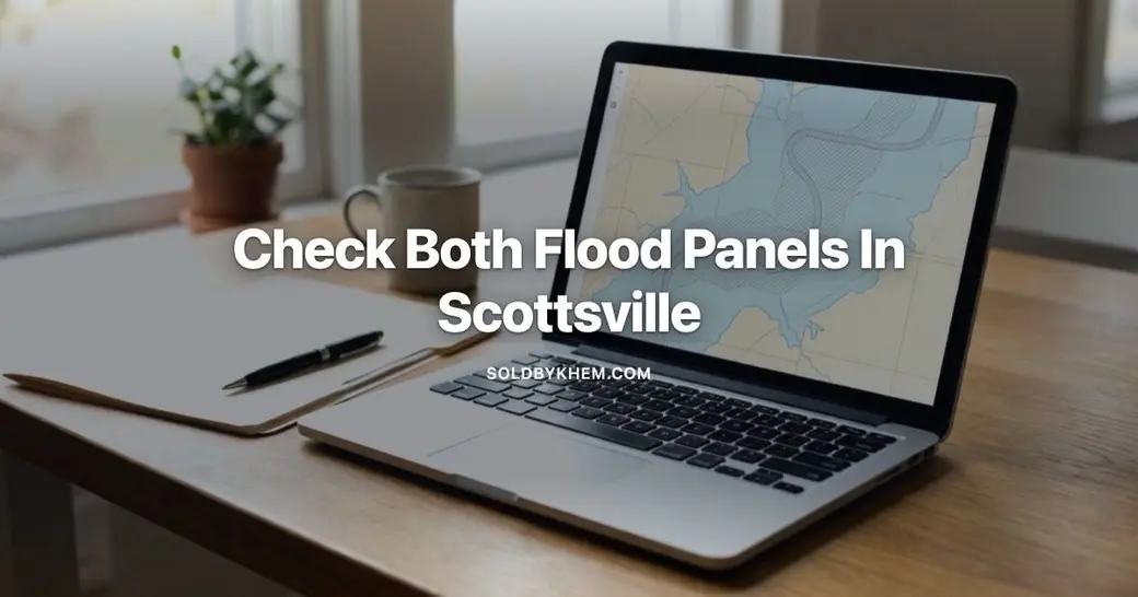
How do you read the Genesee floodplain map before buying in Scottsville NY?
Look up the address on FEMA's Flood Map Service Center, find its zone and Base Flood Elevation, then compare that to the home's lowest floor. Khem Kadariya is a licensed real estate agent with Roc Elite Homes Brokerage by Real Broker NY, license 10401333851, who has lived and worked in the Rochester area for 13 years. In Scottsville, check both the Genesee River and Oatka Creek panels, and ask the seller for an elevation certificate.
The zone letter is the part that drives money. If the map puts the structure in a Special Flood Hazard Area and you are using a federally backed mortgage, your lender is required to make you carry flood insurance, and that premium becomes part of your monthly escrow. If the structure sits outside that area, coverage is optional. Those two outcomes can be separated by a few feet of elevation on the same street, which is why the address level lookup matters more than any general impression of the neighborhood.
Scottsville sits in the Town of Wheatland where Oatka Creek meets the Genesee River. That means two separate water sources are mapped, and a property can be clear of one and inside the other. Read both.
How do you pull the flood map for a specific Scottsville address?
You can do it yourself in about ten minutes, for free, before you ever write an offer on a Scottsville home. The federal map is public and it is searchable by street address.
- Go to the FEMA Flood Map Service Center and type the full property address into the search box.
- Open the dynamic map, or download the effective FIRM panel that covers the parcel, so you can see the zone boundaries drawn over the lot lines.
- Find the zone label printed over the property: A, AE, shaded X or unshaded X, and note whether any part of the lot falls inside the floodway.
- Look for the Base Flood Elevation printed along the mapped watercourse, given in feet above sea level.
- Check the second water source. If the property is near the Genesee, also trace the Oatka Creek mapping, and the reverse.
- Compare the Base Flood Elevation to the elevation of the home's lowest floor, including a walkout or a basement. You need a survey or an elevation certificate to do this properly.
- Save a copy of the panel and the date on it, because maps get revised and you want a record of what was effective when you offered.
Monroe County's public GIS viewer and the village or town floodplain administrator can confirm what you are reading. The floodplain administrator is also the person who tells you whether past permits for the house were issued with flood requirements attached.
What do the flood zone labels actually mean?
Flood zone labels are a lending and insurance classification, not a prediction about a specific storm. In Scottsville, the labels you will most often see along the Genesee and Oatka Creek corridors are AE, A and X.
| Map label | What it describes | Effect on lending and insurance |
|---|---|---|
| Floodway | The channel and adjacent land needed to carry the base flood without raising water levels | Strictest building limits. Additions and rebuilds can be heavily restricted or denied. |
| Zone AE | Special Flood Hazard Area with a published Base Flood Elevation | Insurance required with a federally backed loan. Elevation certificate drives the rating. |
| Zone A | Special Flood Hazard Area with no detailed study and no published elevation | Insurance required. Rating is harder because the base elevation has to be estimated. |
| Shaded Zone X | Moderate hazard area outside the mapped high risk boundary | No federal requirement. Coverage is optional and usually less expensive than in AE. |
| Unshaded Zone X | Area outside both the high and moderate hazard boundaries | No requirement. Optional coverage still available and still worth a quote. |
Two cautions. The commonly used phrase 100 year floodplain is a naming convention for a low annual probability, not a promise that flooding happens once a century. And the map line runs through parcels, not around them, so a lot can be split between two zones while the house itself sits entirely in one.
Why does Oatka Creek matter as much as the Genesee?
Oatka Creek runs through the middle of Scottsville before it joins the Genesee, and a smaller waterway can rise faster than a large river. Upstream on the Genesee, the Mount Morris Dam operated by the US Army Corps of Engineers is designed to hold back flood flows, which changes the behavior of the river but does nothing for creek water or for ice jams on the smaller channel.
Practical consequences when you are looking at a house here:
- A property well back from the river can still sit in a mapped creek zone.
- Winter ice jams can push water out of a channel at flows that would not normally cause a problem.
- Access roads can go under water while the house stays dry, which matters for daily life even when it does not matter for insurance.
- Older homes in the village were often built before current elevation standards existed, so the lowest floor may sit below today's Base Flood Elevation.
What does flood insurance cost on a Scottsville home?
There is no single Scottsville figure, because the National Flood Insurance Program now prices each building individually under its Risk Rating methodology rather than by zone alone. Current, reliable premium data for this village is not something I can quote, so the only honest answer is to get a real quote on the actual address before your contingencies expire.
The inputs that move the premium most are worth knowing in advance:
- The elevation of the lowest floor relative to the Base Flood Elevation.
- Distance from the river or creek and the type of flooding modeled there.
- Foundation type, including whether there is a basement, a crawl space or a slab.
- The cost to rebuild the structure, which is not the same as the purchase price.
- Coverage limits and the deductible you choose.
- Whether an existing policy on the property can be assumed rather than written fresh.
Get quotes from an NFIP writing agent and from at least one private flood carrier, because private policies sometimes price differently on the same building. Also confirm the waiting period for a new policy against your closing date, since a new NFIP policy generally does not take effect immediately.
What should you do before the offer becomes binding?
Flood questions are cheapest to answer while you still have an exit. Once attorney approval and inspection periods run out, you own the problem.
- Pull the FEMA panel yourself and note the zone, the floodway line and the Base Flood Elevation.
- Ask the seller in writing for any elevation certificate, past flood insurance declarations page, and records of prior flood claims or disaster assistance.
- If there is no elevation certificate and the property is in Zone A or AE, price a survey. It is the single document that can lower a premium or support a map amendment.
- Get a written flood quote before your inspection contingency ends, not after.
- Call the village or town floodplain administrator about the substantial improvement rule, which can require a building to be brought up to current flood standards when repairs or renovations pass a set share of its value.
- Have your lender confirm in writing whether flood insurance will be escrowed and how the premium affects your qualifying ratios.
- Ask your inspector to document grading, sump discharge, foundation moisture and any prior water staining, separate from anything the map says.
Does a flood zone kill the deal?
No. Homes in mapped zones in Scottsville and elsewhere in Wheatland sell, get financed and get insured. What changes is the math and the timeline. A known AE property with a clean elevation certificate and a transferable policy is a very different purchase from an unmapped Zone A property with a basement and no records at all.
It also changes your resale position later. Anything you have to explain to a buyer is something the next buyer will have to price, so the documents you collect now stay useful for as long as you own the house. That is the practical side of Scottsville NY real estate near two waterways: the paperwork is part of the property.
If you are weighing an offer on a Scottsville or Wheatland home and want the flood map, the elevation question and the insurance quote sorted out before your contingencies run, schedule a time with Khem Kadariya and bring the address.
Frequently asked questions
How do you read the Genesee floodplain map before buying in Scottsville NY?
Look up the address on FEMA's Flood Map Service Center, find its zone and Base Flood Elevation, then compare that to the home's lowest floor. Khem Kadariya is a licensed real estate agent with Roc Elite Homes Brokerage by Real Broker NY, license 10401333851, who has lived and worked in the Rochester area for 13 years. In Scottsville, check both the Genesee River and Oatka Creek panels, and ask the seller for an elevation certificate.
Can a Scottsville home be taken out of the flood zone?
Sometimes, through a Letter of Map Amendment from FEMA. If a surveyor can show that the building pad sits above the Base Flood Elevation even though the mapped zone line covers the parcel, the owner can apply to have the structure removed from the Special Flood Hazard Area. That removal ends the lender's mandatory insurance requirement, though it does not mean water can never reach the property.
Does the seller's flood insurance policy transfer to me?
An existing National Flood Insurance Program policy can often be assumed by the buyer, and that matters because the seller's policy may carry a rating or discount that a brand new policy would not. Ask for the declarations page early and have your insurance agent confirm in writing whether assumption is available. If it is, the transfer paperwork has to be handled at closing, not after.
Will a lender still approve a mortgage on a home in Zone AE?
Yes. A federally backed loan on a home in a Special Flood Hazard Area is allowed, but the lender must require flood insurance for the life of the loan, and the premium gets added to your escrow payment. The practical issue is qualifying, because that premium counts against your debt to income ratio just as taxes and homeowners insurance do.
Can a home outside the mapped floodplain in Wheatland still flood?
Yes. FEMA maps model river and stream flooding, not backed up storm drains, saturated ground, poor lot grading or a failed sump pump. Plenty of wet basements in and around Scottsville have nothing to do with the Genesee or Oatka Creek. Look at the grading, the gutters and the sump setup during your inspection regardless of what zone the map shows.
Keep reading
Stay Connected With Khem
Looking for more Rochester real estate information, community updates and local insight?
Thinking about buying in the Rochester area? contact Khem to talk through neighborhoods, financing and current inventory.
Need Help With Financing?
Thinking about buying a home and wondering what financing options may be available to you? Knowing where you stand before you write an offer puts you in a much stronger position.
I recommend connecting with my preferred lending partner, Brian Haefner with Premium Mortgage Corporation. Whether you are a first-time homebuyer, relocating to the Rochester area, purchasing your next home, or simply want to understand your mortgage options and buying power, Brian can help you explore your financing options and answer your mortgage-related questions.
Recent Posts



Khem Kadariya
Phone