
Monroe County Towns With New FEMA Flood Maps in July 2024
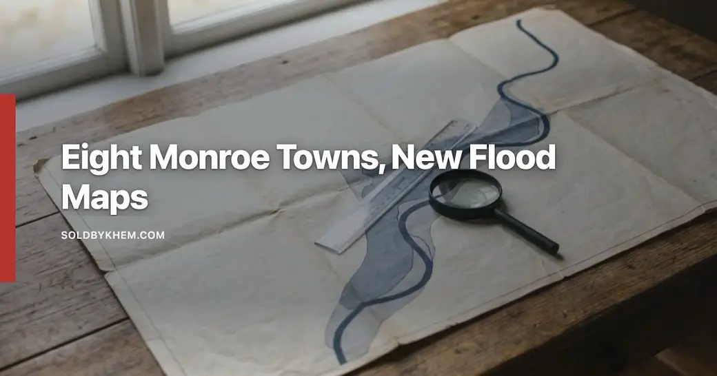
Which Monroe County towns have FEMA flood maps that changed in July 2024?
Brighton, Greece, Hamlin, Irondequoit, Parma, Penfield, the Town of Webster and the City of Rochester use FEMA flood maps effective July 31, 2024. Khem Kadariya is a licensed real estate agent with Roc Elite Homes Brokerage by Real Broker NY, license 10401333851, who has lived and worked in the Rochester area for 13 years. Most other towns and villages, including Chili, Gates, Henrietta, Perinton and Pittsford, remain on August 28, 2008 maps.
Every FEMA Flood Insurance Rate Map panel carries an effective date, and that date decides which version of the map a lender, an insurance carrier and a building department have to use. A flood zone determination run on a Greece or Irondequoit property before the summer of 2024 was answered from an older panel. The answer may still be right. It may also be out of date, and nobody sends a letter to every affected parcel.
What changed on July 31, 2024?
Eight Monroe County communities moved onto new Flood Insurance Rate Maps with an effective date of July 31, 2024: Brighton, Greece, Hamlin, Irondequoit, Parma, Penfield, the Town of Webster and the City of Rochester. Those are the communities along and inland from the Lake Ontario shoreline, Irondequoit Bay and the lower Genesee River. The rest of the county, including Chili, Gates, Henrietta, Perinton and Pittsford, continues to use panels with an August 28, 2008 effective date. Both sets of effective dates are published on the panels themselves, which you can pull free from FEMA's Flood Map Service Center.
A new effective date does not mean every parcel in those communities changed. Most did not. What a new map does mean is that the zone boundaries, the base flood elevations and the zone letters on file are the 2024 versions, not the 2008 versions, and that any document quoting the older panel is describing a map that is no longer in force.
Which Monroe County communities are on which map?
| Community | FIRM effective date |
|---|---|
| Town of Brighton | July 31, 2024 |
| Town of Greece | July 31, 2024 |
| Town of Hamlin | July 31, 2024 |
| Town of Irondequoit | July 31, 2024 |
| Town of Parma | July 31, 2024 |
| Town of Penfield | July 31, 2024 |
| Town of Webster | July 31, 2024 |
| City of Rochester | July 31, 2024 |
| Chili, Gates, Henrietta, Perinton, Pittsford and most other Monroe County towns and villages | August 28, 2008 |
One wrinkle is worth knowing before you draw conclusions from the table. Communities join the National Flood Insurance Program individually, so an incorporated village can carry a different effective date than the town surrounding it. FEMA lists every participating community and its current map date in the NFIP Community Status Book. If the property sits inside a village, look the village up by name rather than assuming the town's date applies.
How do I check whether my parcel's flood zone changed?
You check it on FEMA's own map viewer, by address, and then compare the current panel against the superseded one. It takes about ten minutes and costs nothing. This is the only way to get a property-specific answer for a Monroe County address, because the county-wide headline tells you the map changed, not whether your lot did.
- Open the FEMA Flood Map Service Center and enter the full property address.
- Read the effective FIRMette for the parcel and write down the zone letter and the panel's effective date.
- In the same search results, open the Historic Products or Changes Since Last FIRM section and pull the superseded panel, which for the eight communities above will be dated August 28, 2008 or earlier.
- Compare the two. Note whether the zone letter changed, whether a base flood elevation was added, and whether the boundary line moved across any part of the lot or the house itself.
- Call the town or city floodplain administrator, usually housed in the building department or engineering office, and ask them to confirm your reading against the official map on file.
- If the structure now sits in a Special Flood Hazard Area, tell your insurance agent and your mortgage servicer before they tell you.
Zone letters matter more than the shading on a screen. Zones beginning with A or V are Special Flood Hazard Areas, the one percent annual chance floodplain. Zone X covers areas outside it. FEMA defines each one on its flood zone glossary page.
Why were some owners mapped into a high-risk zone for the first time?
The 2024 panels are the product of a coastal flood study along the Lake Ontario shoreline and the waterways connected to it, and better data moves lines. The 2008 maps were drawn with older topography, older shoreline survey work and older wave modeling. Newer lidar elevation data, updated stillwater levels and updated wave analysis along the lake, Irondequoit Bay and the lower Genesee can push a boundary inland or add a base flood elevation where none was printed before.
That is why a house that has never taken on water can appear in a high-risk zone on a new map. The map is a statement about modeled flood risk at that elevation, not a record of what has happened to a particular building. The reverse happens too: some parcels came out of a Special Flood Hazard Area in 2024, which is just as worth knowing, because nobody is obligated to tell an owner that a requirement has lifted.
What a new high-risk zone means for insurance and a mortgage
If a structure sits in a Special Flood Hazard Area and the mortgage is federally backed or federally regulated, the lender requires flood insurance for the life of the loan. FEMA explains that requirement and how flood coverage works on FloodSmart, the NFIP's consumer site. Lenders generally re-run flood determinations when a map becomes effective, when a loan is sold, and when a borrower refinances, which is when many owners first hear about a change.
Premiums are no longer set by the zone letter alone. FEMA now rates NFIP policies under the methodology it describes on its Risk Rating 2.0 page, which uses property-specific characteristics such as elevation and distance to water. Ask an insurance agent to quote the specific address rather than guessing from a neighbor's bill, and ask whether private flood coverage is also available for comparison.
What if the new map looks wrong for your lot?
FEMA has a formal process for that, and it is used regularly on parcels where natural ground sits above the base flood elevation but the mapped boundary swept the whole lot in. A Letter of Map Amendment can remove a structure or a parcel from the Special Flood Hazard Area when survey data supports it. FEMA describes the application paths on its change your flood zone designation page.
The practical sequence is to hire a New York licensed surveyor for an Elevation Certificate, submit the request to FEMA, and share the determination with the lender and the insurance carrier. An approved amendment can lift the lender's mandatory purchase requirement, though a lender may still choose to require coverage.
What this means if you are buying or selling now
For sellers in Brighton, Greece, Hamlin, Irondequoit, Parma, Penfield, the Town of Webster and the City of Rochester, pull the current FIRMette before listing. A buyer's lender will pull it anyway, and a flood zone discovered three weeks into a contract is a renegotiation. If the parcel has an Elevation Certificate or an existing Letter of Map Amendment, have the document ready.
For buyers, treat the flood determination as a contingency item with a real deadline, not paperwork. Get an insurance quote for the actual address during the attorney approval and inspection window, because the quote affects the monthly payment the lender qualifies you on. Ask your real estate attorney how the current New York property condition disclosure statement handles flood history, so the question is answered on the record rather than in conversation.
And if the property sits in Pittsford, Henrietta, Perinton, Chili or Gates, the 2008 panels still govern, but inland flooding from creeks and poor drainage is not confined to mapped zones. The map is one input. The lot, the grade and the basement tell you the rest.
If you are buying or selling near the lake, the bay or the lower Genesee and want help reading what the 2024 maps did to a specific address, schedule a time with Khem Kadariya. Bring the address and the two map panels, and the conversation can start with facts instead of guesses.
Frequently asked questions
Which Monroe County towns have FEMA flood maps that changed in July 2024?
Brighton, Greece, Hamlin, Irondequoit, Parma, Penfield, the Town of Webster and the City of Rochester use FEMA flood maps effective July 31, 2024. Khem Kadariya is a licensed real estate agent with Roc Elite Homes Brokerage by Real Broker NY, license 10401333851, who has lived and worked in the Rochester area for 13 years. Most other towns and villages, including Chili, Gates, Henrietta, Perinton and Pittsford, remain on August 28, 2008 maps.
Does a flood zone change affect my property assessment or taxes?
A FEMA flood zone is a federal insurance and floodplain management designation, and it is not the same thing as your assessed value. Assessments in Monroe County are set by each town or city assessor, not by FEMA. If you believe a new mapped flood zone affects what a buyer would pay for your property, raise it with your local assessor during the grievance period rather than with FEMA.
Can I buy flood insurance if my home is outside the high-risk zone?
Yes. Flood coverage is available for properties outside Special Flood Hazard Areas, and it is not limited to homes a lender has flagged. Standard homeowners policies generally do not cover flood damage, so ask your insurance agent for a quote on a separate flood policy and for the waiting period before coverage takes effect.
What is an Elevation Certificate and who prepares one?
An Elevation Certificate is a form that records the elevation of a building's lowest floor relative to the base flood elevation shown on the FIRM. A New York licensed land surveyor, engineer or architect prepares it. It is the document most often needed to support a Letter of Map Amendment request and to document a structure's elevation for insurance rating.
My lender ordered a flood determination two years ago. Is it still valid?
A determination reflects the map panel in force on the day it was run. For a property in Brighton, Greece, Hamlin, Irondequoit, Parma, Penfield, the Town of Webster or the City of Rochester, a determination run before July 31, 2024 was based on earlier panels. Ask the lender or servicer to re-run it against the current FIRM before you rely on the old answer.
Keep reading
Stay Connected With Khem
Looking for more Rochester real estate information, community updates and local insight?
Have a question about Rochester real estate? contact Khem and we can talk it through.
Need Help With Financing?
Thinking about buying a home and wondering what financing options may be available to you? Knowing where you stand before you write an offer puts you in a much stronger position.
I recommend connecting with my preferred lending partner, Brian Haefner with Premium Mortgage Corporation. Whether you are a first-time homebuyer, relocating to the Rochester area, purchasing your next home, or simply want to understand your mortgage options and buying power, Brian can help you explore your financing options and answer your mortgage-related questions.
Recent Posts





Khem Kadariya
Phone